Benefits of Geotagged Photos and Videos in Land Surveillance
In the context of increasing land-related risks—especially in developing areas—having reliable proof of your land's condition is essential. Traditional documentation methods often fall short when disputes arise. This is where geotagged photos and videos play a crucial role in modern land surveillance.
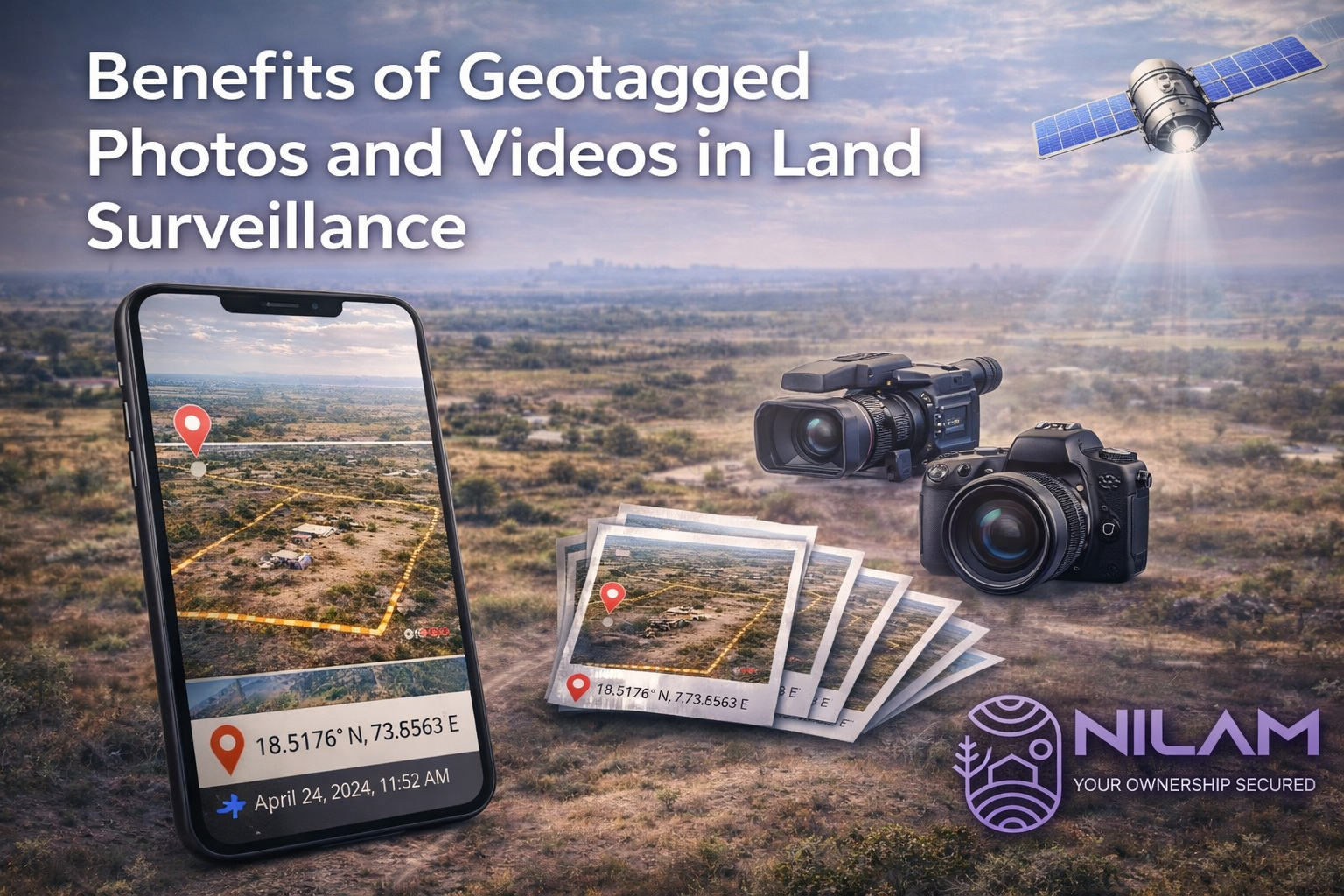
Geotagging embeds precise location coordinates along with date and time into photos and videos, turning simple visuals into powerful, verifiable records. This added layer of data significantly enhances the credibility of documentation.
Key Benefits of Geotagged Photos and Videos
Accurate Location Verification
Each image or video is linked to exact GPS coordinates, ensuring there is no confusion about where the evidence was captured.
Time-Stamped Documentation
Geotagged files automatically record when they were taken, helping establish a clear sequence of events.
Stronger Evidence in Disputes
In cases of encroachment, unauthorized use, or boundary issues, geotagged visuals provide factual support that strengthens claims.
Continuous Land Monitoring
Regularly capturing geotagged media helps build a consistent visual history, making it easier to identify changes over time.
Transparency and Accountability
Geotagged records create a transparent system of documentation that can be shared with stakeholders when required.
Where Geotagged Evidence Helps Most
- ✅ Detecting unauthorized occupation or activity
- ✅ Monitoring boundary conditions and fencing
- ✅ Recording illegal dumping or land misuse
- ✅ Documenting pre- and post-maintenance site status
Tips for Using Geotagged Evidence in Legal Disputes
Keep Location Services Enabled
Always ensure GPS/location settings are active before capturing photos or videos.
Capture Wide and Close Views
Take both overview shots and detailed images to present complete context.
Include Identifiable Reference Points
Nearby roads, signboards, poles, or structures help validate the exact location visually.
Maintain a Regular Capture Schedule
Periodic documentation strengthens your case by showing consistency over time.
Preserve Original Files
Avoid editing or compressing original media, as it may remove important metadata.
Use Secure Storage Systems
Store files safely with backups to ensure availability when required for legal purposes.
Legal Advantage of Geotagged Documentation
In land disputes, clarity and credibility of evidence are critical. Geotagged photos and videos help establish:
- ✅ Exact location of the issue
- ✅ Timeline of events or changes
- ✅ Condition of the land before and after incidents
Such detailed documentation can significantly improve the strength of your position during legal proceedings.
Geotagged photos and videos have become an essential part of effective land surveillance. They not only improve monitoring but also provide strong, reliable support in case of disputes.
Adopting structured geotagged documentation practices ensures that your land is not only observed—but also well-protected with credible evidence.