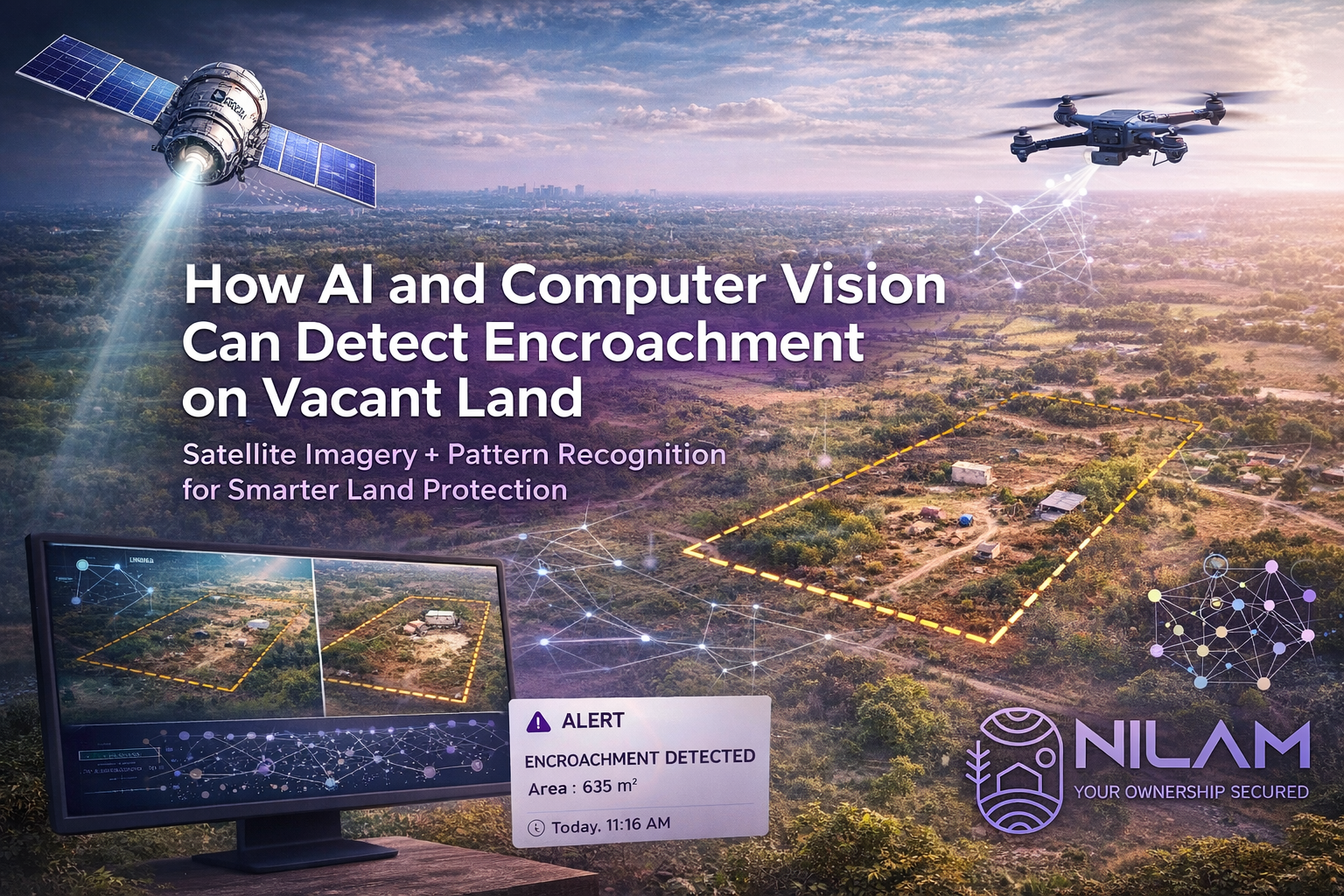
How AI and Computer Vision Can Detect Encroachment on Vacant Land
Satellite Imagery + Pattern Recognition for Smarter Land Protection
In today's rapidly developing world, vacant land is increasingly vulnerable to unauthorized use, boundary violations, and encroachments. Traditional monitoring methods such as physical inspections are no longer sufficient for large, remote, or multiple land parcels.
This is where Artificial Intelligence (AI) and Computer Vision are transforming land protection systems by enabling automated, continuous, and highly accurate encroachment detection using satellite imagery and pattern recognition technologies.
The Role of Satellite Imagery in Land Monitoring
Satellite imagery provides high-resolution visual data of the Earth's surface captured at regular intervals. These images allow systems to observe changes in land conditions over time.
For vacant land monitoring, AI systems analyze:
- ✅ Land boundary visibility and shape changes
- ✅ New structures or temporary shelters
- ✅ Soil disturbances or vegetation removal
- ✅ Unauthorized fencing or access paths
- ✅ Gradual land occupation patterns
By comparing historical and recent satellite images, AI can detect even subtle changes that may indicate early-stage encroachment.
How AI and Computer Vision Work in Encroachment Detection
Computer vision enables machines to "see" and interpret images like humans, but with far greater speed and consistency.
Here's how the process works:
1. Image Collection
Satellite or drone images are continuously collected for the same land parcel over time.
2. Pre-Processing
Images are cleaned and aligned to ensure accurate comparison by removing noise, cloud cover, and distortions.
3. Pattern Recognition
AI models analyze spatial patterns such as:
- ✅ Land shape consistency
- ✅ Boundary alignment changes
- ✅ New object detection such as structures, vehicles, fencing
- ✅ Texture and color changes in soil or vegetation
4. Change Detection
The system compares past and current images to identify:
- ✅ Sudden changes such as construction or fencing
- ✅ Gradual occupation or land use shifts
- ✅ Boundary shifts or shrinkage
5. Alert Generation
If unusual changes are detected, the system flags potential encroachment and triggers alerts for field verification.
Why This Technology is a Game-Changer for Land Protection
AI-based land monitoring offers several advantages over traditional inspection methods:
- ✅ Early detection of encroachment before it becomes permanent
- ✅ Continuous monitoring without manual visits
- ✅ Large area coverage suitable for multiple or remote land parcels
- ✅ High accuracy with reduced human error
- ✅ Cost efficiency by minimizing frequent physical inspections
Real-World Impact on Vacant Land Security
For vacant lands, especially in semi-urban and rural areas, encroachment often happens gradually and unnoticed. AI-powered monitoring ensures:
- ✅ Immediate visibility of land changes
- ✅ Faster response to illegal occupation
- ✅ Stronger legal evidence through time-stamped imagery
- ✅ Better protection for NRIs and absentee landowners
This technology is becoming a critical part of modern land asset protection systems, combining digital intelligence with ground verification.
The Future of Smart Land Protection
As AI models improve, future systems will be able to:
- ✅ Predict encroachment risk zones
- ✅ Integrate drone and satellite hybrid monitoring
- ✅ Automatically map boundary violations in real time
- ✅ Provide legal-ready documentation reports
This shift is making land security more proactive rather than reactive.