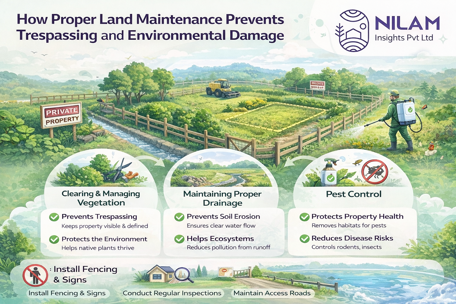
How to Interpret Geotagged Photos and Videos from Your Land Inspections
When you own land but cannot visit it frequently, visual inspection reports become extremely valuable. Modern land monitoring services, such as those provided by Nilam Insights Pvt Ltd, use geotagged photos and videos to give landowners a transparent and reliable view of their property.
But how do you interpret these images effectively? Understanding a few key elements can help you make better decisions about your land.
1. Understanding Geotagging
Geotagging means that every photo or video captured during the inspection contains location metadata. This includes:
- ✅ Exact GPS coordinates of where the photo was taken
- ✅ Date and time stamp of capture
- ✅ Device location accuracy
This ensures the image is taken directly at your property and not from another location. It builds trust and accountability in the inspection process.
2. Verifying the Timeline of Inspections
Most professional land monitoring systems provide a timeline view of inspection updates.
Using the timeline feature, you can:
- ✅ Track when each inspection happened
- ✅ Compare previous and current images of the same area
- ✅ Identify changes over time, such as new structures, vegetation growth, or activity near your land
For example, if an inspection was conducted in January and another in March, the timeline view lets you visually compare the two visits.
3. Identifying Land Changes and Risks
Geotagged photos help you quickly identify potential issues, including:
- ✅ Encroachments or unauthorized constructions
- ✅ Dumping of debris or waste
- ✅ New access paths or road developments
- ✅ Vegetation growth or land clearing nearby
Videos are especially useful because they show surrounding context, helping you understand the environment around your land.
4. Checking Boundary Areas
A good inspection report will include images taken from multiple angles, particularly along boundaries.
When reviewing these photos, look for:
- ✅ Condition of fencing or boundary markers
- ✅ Neighboring land activity
- ✅ Any movement of boundary stones
Regular visual records help create historical proof of boundary condition.
5. Using Visual Evidence for Documentation
Geotagged media also serves as documentation in case of disputes.
If an issue arises later, you will have:
- ✅ Timestamped evidence
- ✅ Verified location data
- ✅ Historical visual records of your property condition
This can be useful when discussing matters with local authorities or resolving disputes.
6. Staying Informed Without Visiting the Site
For many landowners, especially NRIs or those living in different cities, geotagged inspection updates provide peace of mind.
Instead of traveling frequently, you can:
- ✅ Review inspection updates remotely
- ✅ Monitor changes through timeline comparisons
- ✅ Stay informed about your property’s condition anytime
Key Takeaway
Geotagged photos and videos transform land inspections into transparent, verifiable, and easy to understand reports. By learning how to read location data, review timeline views, and compare visual updates, landowners can stay fully informed about their property without needing to visit the site regularly.
Reliable visual reporting ensures your land remains secure, monitored, and well documented over time.
Why Nilam Insights?
Nilam Insights Pvt Ltd helps landowners stay connected to their property through professional inspection updates supported by geotagged photos and videos. This makes remote land monitoring more transparent, dependable, and practical.
With clear visual evidence, timeline tracking, and location based reporting, Nilam Insights helps clients make informed decisions and maintain confidence in the safety and condition of their land.